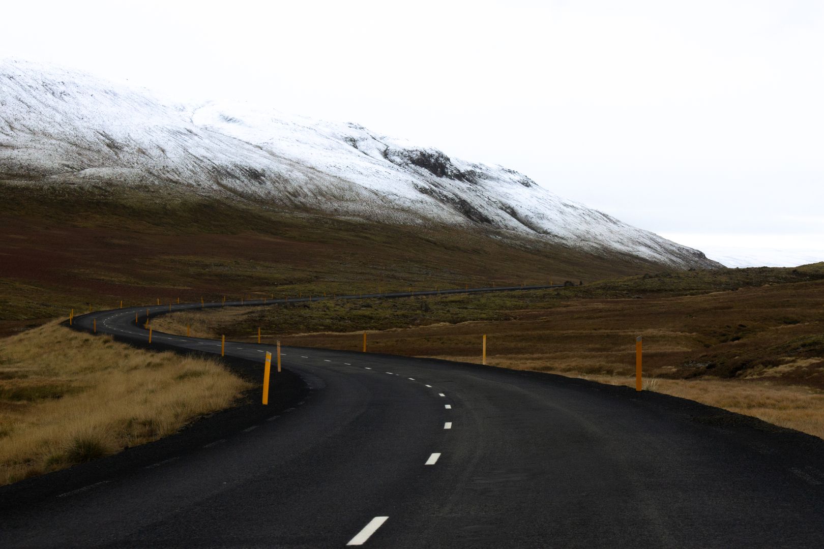

Route 1 (Hringvegurinn, the Ring Road) is a 1,332km paved road that encircles Iceland's coast, connecting every major town and passing through every major landscape type on the island. It can be driven in two days without stops; it's better planned for 10–14 days with detours. The standard tourist allocation — one week — produces a compressed but achievable circuit with honest time at the main sites. The road itself is open year-round; the F-roads (highland interior routes, marked with an F prefix) are closed October through May and require 4WD when open. Route 1 does not require 4WD in summer, though a higher-clearance vehicle helps on the gravel sections of the East Fjords.
The South Coast
The south coast from Reykjavik to Höfn is the most visited section of the Ring Road — accessible without significant driving time from the capital, containing the highest concentration of iconic landscapes in a short distance. Seljalandsfoss (165km from Reykjavik) is a waterfall where the path passes behind the curtain of water — a 10-minute detour that requires waterproof clothing at close range. Skógafoss (25km further) is a wider fall with a staircase to the top of the cliff; the 14km Skógá River waterfall trail runs from here inland to the glacier.
The Sólheimasandur DC-3 plane wreck (a 1973 US Navy crash on the black sand plain south of Route 1) requires a 4km walk each way across a flat black sand desert; it is genuinely photogenic and genuinely popular. Dyrhólaey (the arch headland at Iceland's southernmost point) gives a view of the black sand coast stretching toward Vík; puffins nest in the cliff faces May–August. Reynisfjara black sand beach at Vík has the most dramatic basalt column formations on the south coast — and the most dangerous surf. The sneaker waves here have killed people. The posted warning signs are serious; stand further back than comfortable and watch the wave patterns before approaching the waterline.
Vatnajökull: Glacier Lagoon and Diamond Beach
Vatnajökull is the largest glacier in Europe by volume — 8,100 km², covering 8% of Iceland's land area, up to 950m deep in its central section. The southeastern outlet glacier Breiðamerkurjökull calves into Jökulsárlón glacier lagoon, where icebergs (blue-green, white, occasionally banded black from volcanic ash) drift on 25m-deep water before being carried by tidal flow under the road bridge to the sea. The lagoon is free to approach; boat tours (ISK 6,500–9,900) take you among the ice. Diamond Beach, directly across the road where the lagoon meets the sea, has ice fragments stranded on the black sand — the combination of white and blue ice on black volcanic sand is exactly as photogenic as every photograph suggests, and accessible at zero cost.
Skaftafell, within the Vatnajökull National Park (free entry), has marked hiking trails through the birch woodland to the glacier edge — the Svartifoss waterfall trail (1.5 hours return) passes the hexagonal basalt columns that inspired Hallgrímskirkja's facade. The guided glacier walk from Skaftafell (ISK 8,900–12,000, crampons and guide provided) is the most accessible way to walk on the ice surface. The approach from the main car park to the glacier edge takes 20 minutes.
The East Fjords
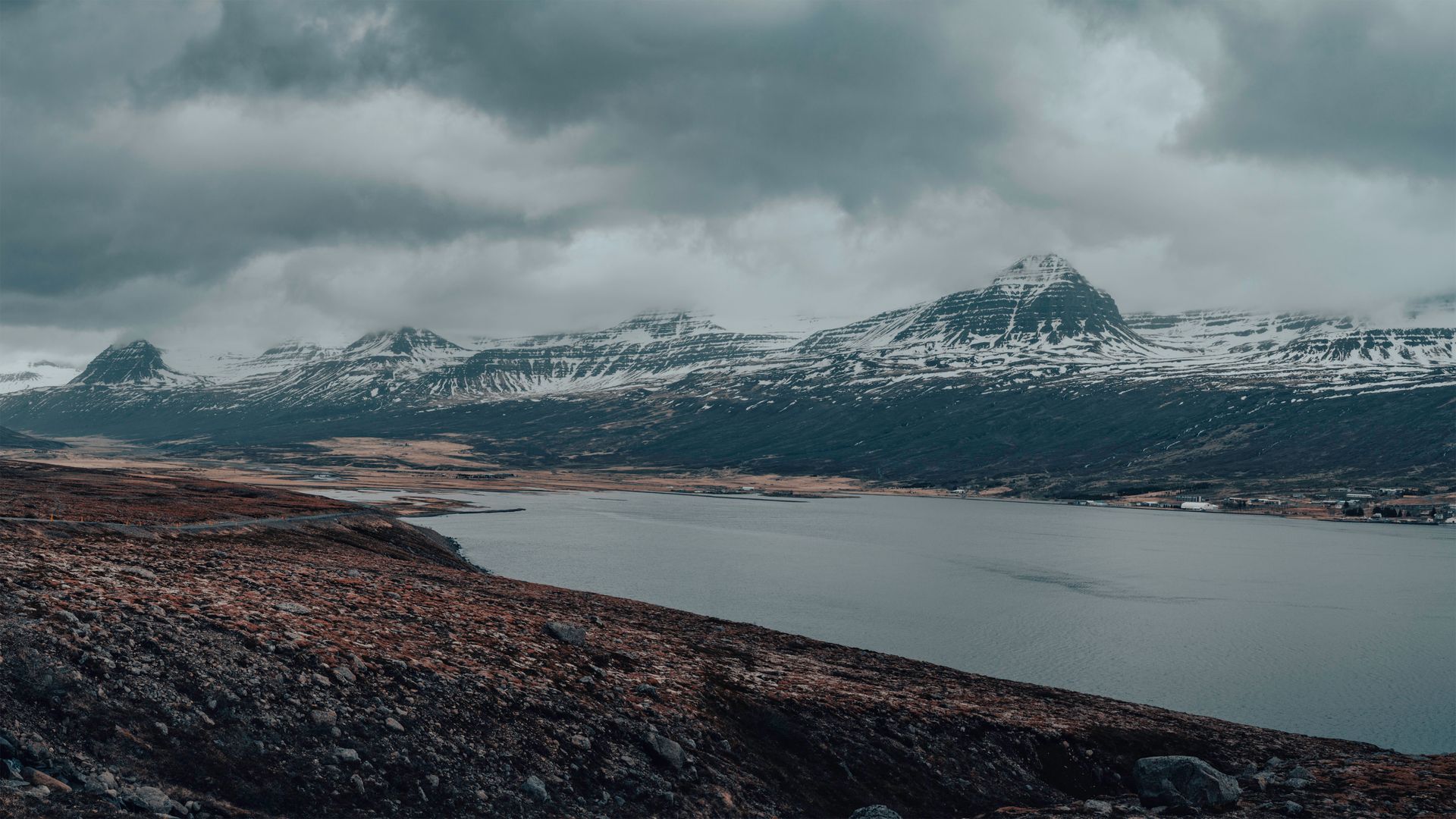
The East Fjords are a series of 14 fjords cutting into the eastern highlands, requiring the Ring Road to climb and descend repeatedly between 200m and 400m. The driving is slower than the straight southern sections; the landscape is less immediately dramatic than the glacier areas but more varied in its ecological character — sheep farms on steep slopes, fishing villages at fjord heads, occasional reindeer in the mountains. Seyðisfjörður (a 30km detour from Egilsstaðir, the main Ring Road town) is the most visually distinctive: a wooden 19th-century village at the head of a fjord, accessible by a steep winding road, containing the Smyril Line ferry connection to the Faroe Islands and Denmark. The rainbow-painted road leading to the technical museum (in a converted 1895 herring factory) is the most Instagram-familiar image of the east.
Djúpivogur, further south on the coast, has a sculpture installation of 34 large bird eggs in marble, granite, and basalt — one for each species that nests in the Eastfjords region, placed on a pier extending into the fjord (free). It's worth 20 minutes and a walk on the pier regardless of interest in the sculpture.
Mývatn and the North
Mývatn (Lake Midges) is a shallow eutrophic lake in the northeast, formed by a basaltic lava eruption 2,300 years ago, surrounded by pseudocraters, lava formations, and geothermal activity. The Námaskarð geothermal field, 5km east of the lake, has boiling mud pots, steam vents, and sulphurous fumaroles across a wide yellow-stained plain — the most alien landscape on the Ring Road and freely accessible from a car park. Dimmuborgir, on the lake's east shore, is a field of collapsed lava tube formations creating irregular pillars and arches; the 2km loop trail takes 40 minutes. The midges (non-biting chironomids) that give the lake its name appear in vast swarms June–July; a head net is practical.
Goðafoss (the Waterfall of the Gods, 50km west of Mývatn) is a 30m-wide horseshoe falls where, according to the sagas, the Lawspeaker Þorgeir Ljósvetningagoði threw his Norse idol statues into the water in 1000 AD following Iceland's adoption of Christianity. It's accessible from the Ring Road with a 5-minute walk and is one of the more photographable waterfalls on the circuit. Húsavík, 60km north of Mývatn, is Iceland's whale watching capital — humpback whales are reliably present June–August in Skjálfandi Bay (success rate 98% in peak months).
Akureyri and the Northwest Return
Akureyri (population 20,000) is Iceland's second city — a genuine town rather than a service stop, with a botanical garden, a good art museum, a ski resort on Hlíðarfjall above the fjord, and a pedestrian centre that functions independently of tourist traffic. It's 390km from Reykjavik via the Ring Road north and 380km via the interior F35 (summer only, 4WD required). The Akureyri–Reykjavik stretch completes the circuit; the route through the Kjölur highland track (F35) past the Kerlingarfjöll geothermal mountains is the most dramatic interior option for those with the appropriate vehicle.
Driving Practicalities
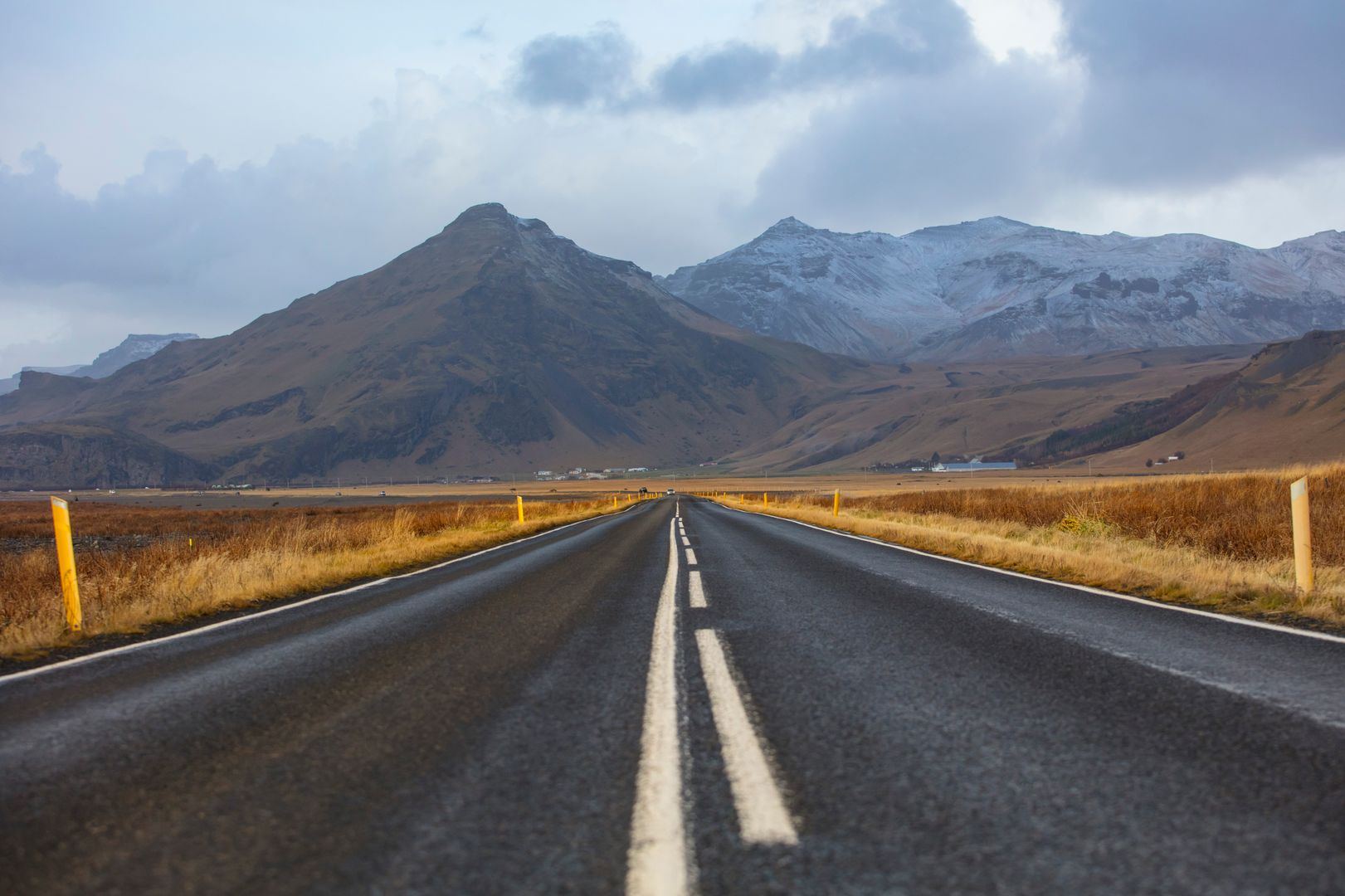
Road.is and vedur.is provide current road and weather conditions. Speed limits: 90km/h on paved rural roads, 80km/h on gravel, 50km/h in towns. The single-lane bridges on the Ring Road require yield to whichever car arrives first — they are marked and common. Sheep are on the road year-round; the Icelandic driving test does not include city traffic but does include sheep avoidance protocols. Petrol stations are 50–150km apart in remote sections; fill the tank whenever the opportunity arises. Car hire: 2WD from ISK 8,000–12,000/day; 4WD from ISK 15,000–25,000/day for a genuine capability vehicle.


