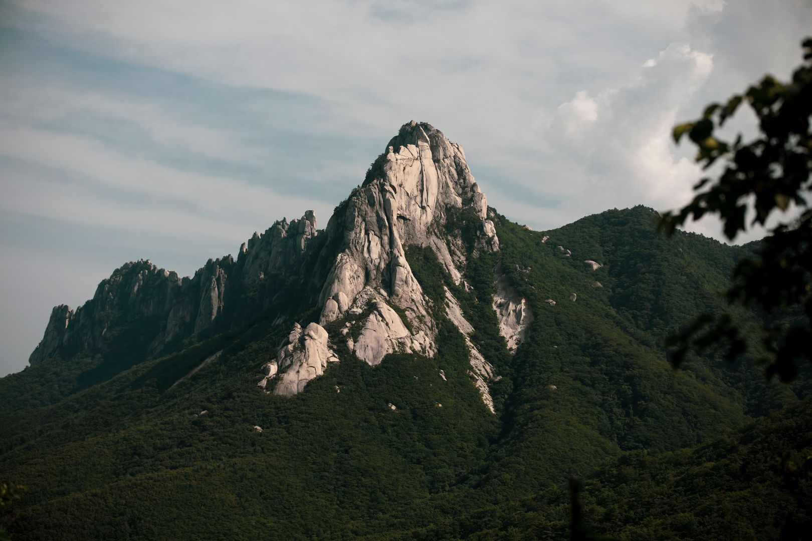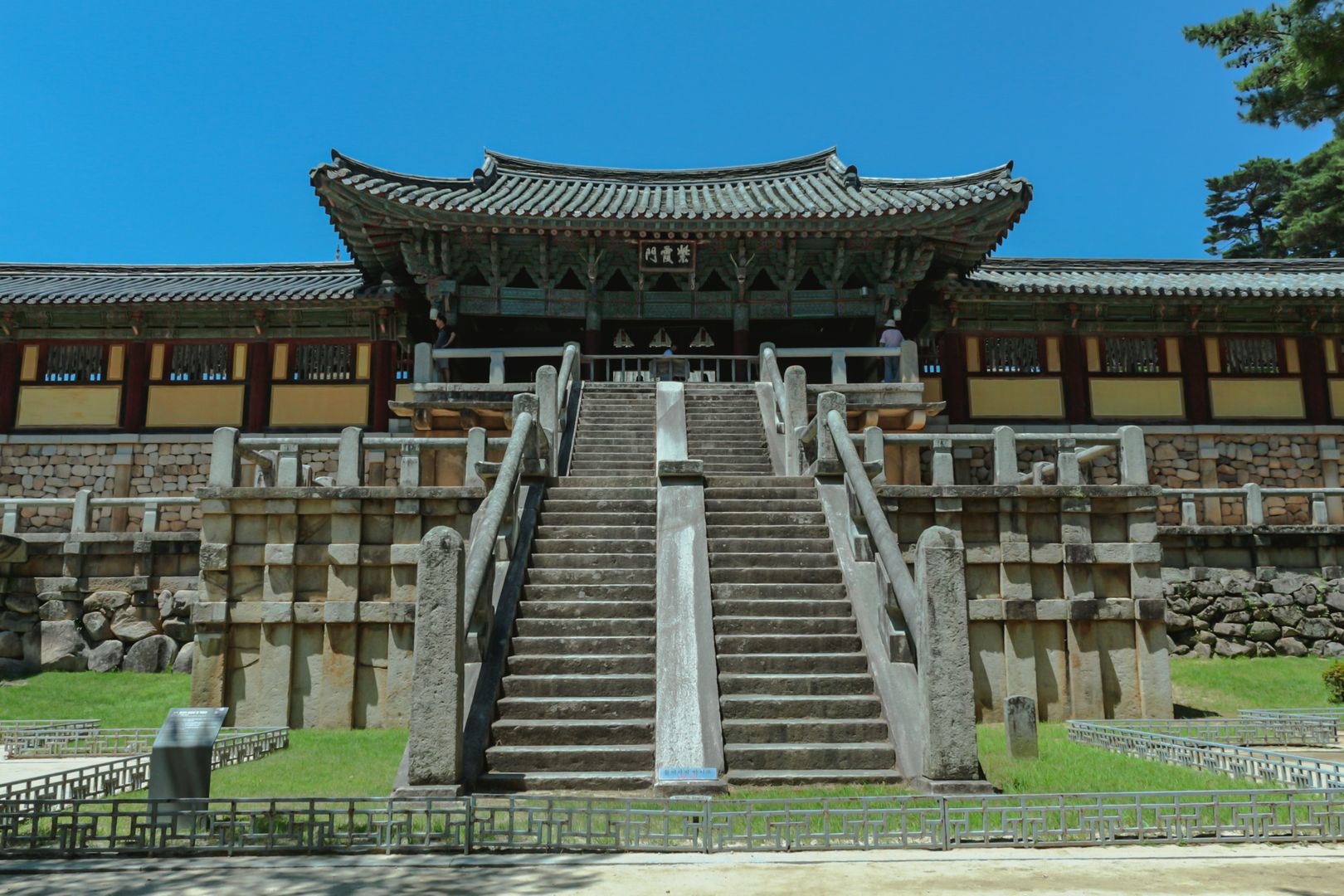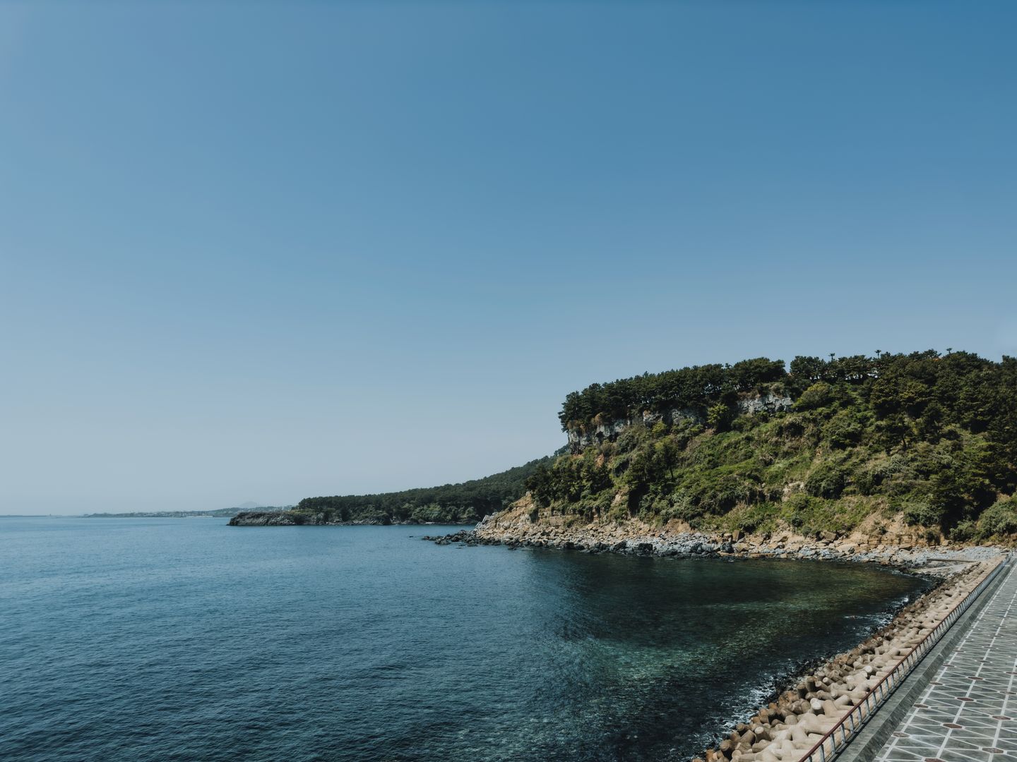

Jeju Island (제주도) is a shield volcano, 1,848 km² in area, formed by submarine volcanic activity and rising to 1,947m at Hallasan, the highest mountain in South Korea. The island sits 90km off the southern tip of the peninsula in the Korea Strait. The volcanic geology is present in almost everything visible: the black basalt walls dividing fields, the lava tubes running through the island's interior, the tuff cone of Seongsan Ilchulbong rising from the water on the east coast, and the parasitic cones (oreum) distributed across the plateau. Jeju has been a Korean domestic resort destination since the 1960s and a UNESCO World Natural Heritage Site since 2007. The international airport connects to Seoul (1 hour), and the circumference road covers the full perimeter in a day's drive.
Hallasan: Korea's Highest Peak
Hallasan is a dormant shield volcano — the caldera at the summit holds Baeknodam Lake, a crater lake visible only from the two trails that reach the top. The Seongpanak trail (9.6km one way from the eastern approach, 4.5 hours up) and the Gwaneumsa trail (8.7km one way from the northern approach, 4 hours up) are the only two routes accessing the summit; the other trails stop at sub-summit points. Both require an early start (gates open at 5am; the summit trail closes at midday in summer and 10am in autumn to ensure descents are completed before dark).
Permits for the summit trails are free but required (reservation system: visithalla.jeju.go.kr); book at least a week ahead in spring (late March–May, cherry blossom and azalea season) and autumn (October–November, foliage season) when the trails are at capacity. The route passes through subtropical forest in the lower sections, then through subalpine shrubland, and into the crater area above 1,700m. The view from the caldera rim extends to the coast on clear days; cloud cover makes the summit experience flat but the forest sections are worthwhile regardless.
Manjanggul Lava Tube
Manjanggul is a 7.4km lava tube — one of the world's longest — formed when the surface of a lava flow cooled and solidified while molten rock continued to flow underneath and eventually drained out. A 1km section of the tube is open to visitors (KRW 4,000); the ceiling rises to 23m at its highest point. The interior temperature is 11–18°C year-round regardless of outside weather, making it the most genuinely cool place on the island in summer. The path is lit but uneven; comfortable walking shoes are more appropriate than sandals. The last 50m of the accessible section ends at a lava column formed by molten rock dropping from the ceiling — 7.6m tall, one of the largest in the world of this type.
Seongsan Ilchulbong

Seongsan Ilchulbong (Sunrise Peak) is a tuff cone — a volcanic formation created by underwater explosions rather than normal eruption — rising 182m from the sea on Jeju's east coast. The cone is partially eroded on its seaward face, leaving a crater rim of 99 basalt pinnacles visible from the coast road. The 20-minute climb to the crater rim (KRW 5,000) gives a view into the bowl below and across to the coastline. The best experience is at sunrise: the gate opens at 7am in summer (5:30am in some seasons); arrive 30 minutes early for the path to the rim to have any space for the view. The Seongsan fishing village below the cone has haenyeo (female free-divers) who perform at 11am and 1pm daily on the rocks below the cone, demonstrating the seafood diving practice that Jeju's UNESCO designation partially recognises.
The Olle Trails
The Jeju Olle Trail network covers 437km in 26 routes around the island's perimeter and interior, developed from 2007 onwards as a coastal walking system. The routes average 15km and 5–6 hours; markers are the teal and orange ribbon tied to waypoints, with a ponytailed figure symbol on posts. Route 1 (Siheung to Gwangchigi, 15km) covers the coastline east of Seongsan and passes oreum (parasitic cones) and a working fishing village. Route 7 (World Cup Stadium to Oedolgae Rock, 17.6km) runs along the south coast past the Oedolgae basalt sea stack and through the Jeongbang Waterfall area.
The trails work best as half-day walks from a base — pick a starting and ending point near a bus stop and take the bus back. The Jeju bus network covers the coastal areas adequately; the interior is less well-served. Walking the full circumference takes 2–3 weeks.
The South Coast: Waterfalls and Beaches
Jeongbang Waterfall (KRW 2,000), near Seogwipo, falls directly into the sea — one of only three coastal waterfalls in Asia according to the standard description. The falls are 23m high and 8m wide; the viewing area at the base gets spray in the morning when the falls are full after rain. Cheonjiyeon Waterfall (KRW 2,000), a 10-minute walk west of Jeongbang, falls into a freshwater pool with white fairy pipe fish visible through the clear water; access is by a short forested canyon path.
Hyeopjae Beach on the west coast has white sand (unusual for Jeju's normally basalt shores) and the Biyangdo island view across the water. Hamdeok Beach on the north coast has a sheltered bay with calm, clear water good for swimming. The black sand beach at Woljeong-ri on the northeast coast has a concentration of cafés built on the beach itself — photogenic, busy with domestic visitors, more resort than beach in character.
Jeju Food
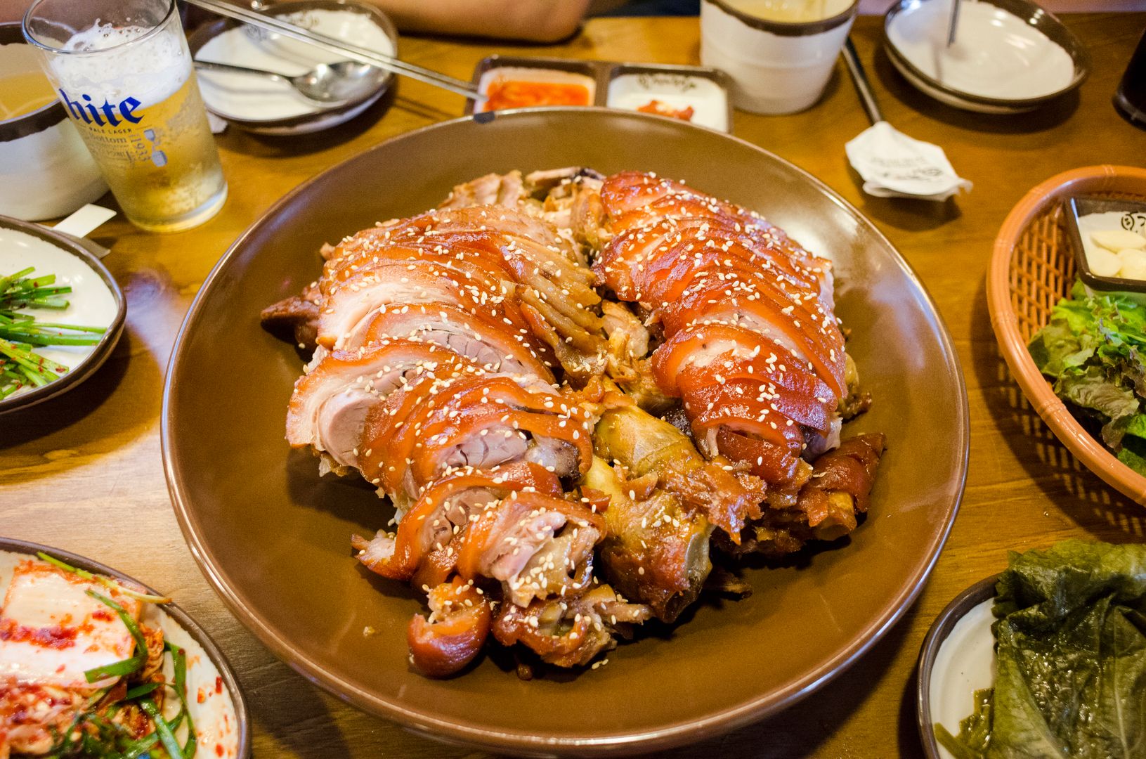
Black pork (흑돼지, heukdwaeji) is Jeju's most distinctive meat product — a breed of small black pig reared on the island whose diet (historically including citrus byproducts and barley) gives a flavour noticeably different from mainland Korean pork. Served as samgyeopsal-style BBQ at table grills; Jeju Black Pork Street in Jeju City has a concentration of dedicated restaurants. Haemul jeongol (seafood hotpot, particularly abalone and turban snail) is the other Jeju speciality, concentrated around the fishing ports. Hallabong mandarin oranges — a Jeju-specific hybrid grown on the island's subtropical southern slopes — are sold at roadside stalls from December through March. Jeju soju is a slightly sweeter variant produced locally; the convenience store price is about the same as mainland soju.
Getting to Jeju Island
Domestic flights from Seoul Gimpo (1 hour, Jeju Air and Korean Air multiple daily, KRW 40,000–80,000 one way) and Seoul Incheon are the standard route. The Gimpo–Jeju route is consistently one of the world's busiest air routes by passenger volume. Ferries from Mokpo (2–4 hours) and Wando on the mainland operate daily and are useful if arriving with a vehicle; the crossing from Mokpo on a slow ferry takes 4.5 hours at roughly KRW 30,000 passenger only.
Getting Around Jeju
A rental car is the practical necessity — public buses cover the main towns but the trailheads, waterfalls, and oreum are on routes where waiting times of 60–90 minutes are normal. Car hire runs KRW 50,000–80,000 per day for a small car from the airport. The circumference road (a combination of Route 12 and coastal roads) covers the island in a full day with stops; the interior cross-island roads pass through the Hallasan National Park and give the best views of the mountain. Electric scooter hire (KRW 30,000–40,000 per day) works for the coastal areas but not the mountain.
Practical Costs
Jeju is priced roughly at Seoul levels: mid-range hotel KRW 80,000–150,000; guesthouse KRW 30,000–60,000. Restaurant meals KRW 12,000–30,000; black pork BBQ for two with drinks KRW 40,000–60,000. Hallasan hiking: free. Manjanggul: KRW 4,000. Seongsan Ilchulbong: KRW 5,000. Car hire: KRW 50,000–80,000/day. A three-day visit covering Hallasan (1 day), east coast including Seongsan and Manjanggul (1 day), and west and south coast (1 day) covers the main sites without rushing.